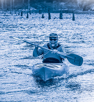
Kayaking at North Bend State Park
Kayak Rentals
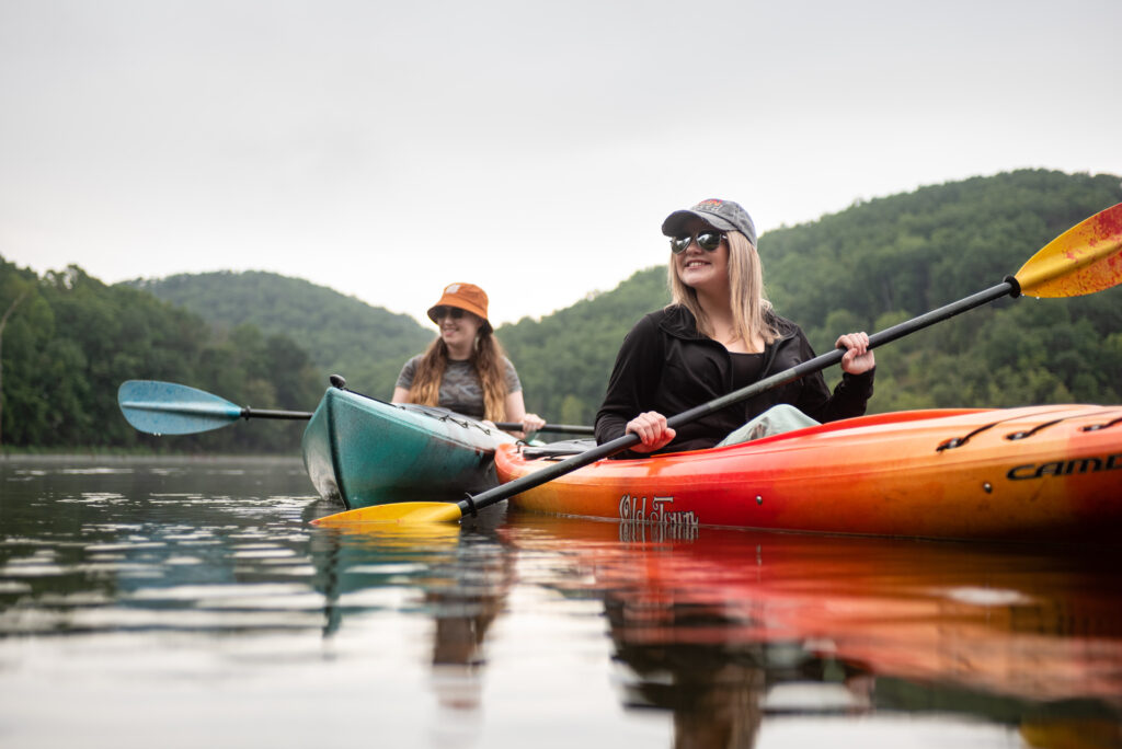
Kayaking in Greater Parkersburg
Experience the Greater Parkersburg area from a whole new angle—on the water. Whether you’re gliding through serene lakes or tackling gentle river currents, this region is a kayaker’s dream. With scenic views, abundant wildlife, and paddling options for all skill levels, it’s time to grab your paddle and explore!
🌲 Mountwood Park
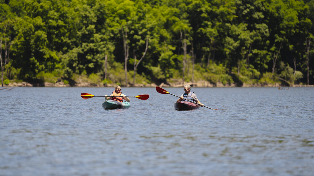
Just a short drive from Parkersburg, Mountwood Park offers an ideal kayaking getaway. The 50-acre lake is calm and surrounded by wooded hills, perfect for beginners and families. The Mountwood Marina offers affordable kayak rentals, and the park also features picnic areas, hiking trails, and fishing spots—making it easy to turn a paddle trip into a full-day adventure.
🏞️ Lee Creek
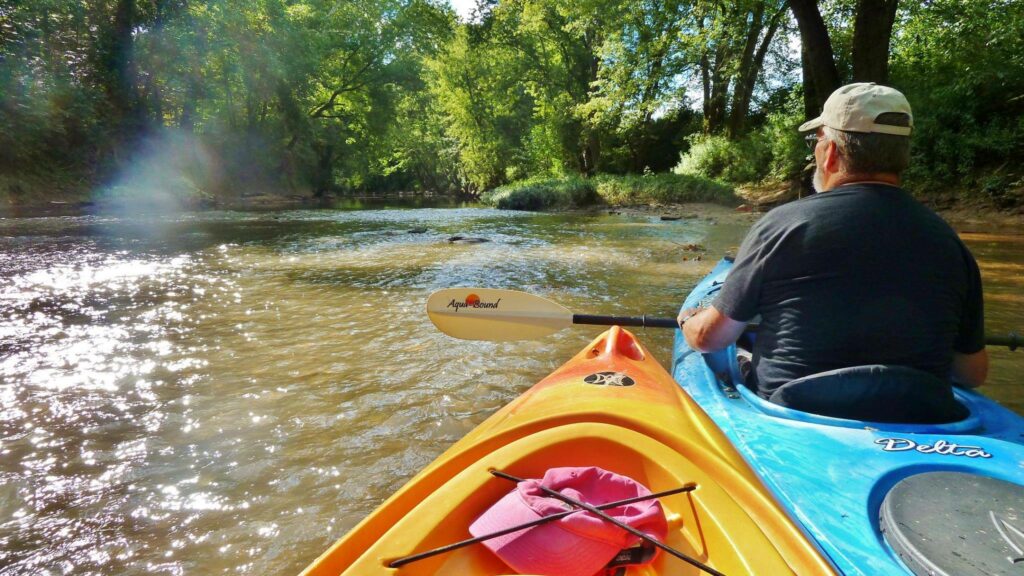
For a more secluded experience, consider paddling Lee Creek. This 8.6-mile round trip offers a 5-hour journey through serene landscapes, including rock overhangs and farmland. The put-in and take-out are at the same location, but be cautious of muddy conditions at the access point.
🌄 North Bend State Park
North Bend Lake is one of the area’s most popular flatwater destinations. Located within North Bend State Park, with over 300 acres of quiet water, it’s perfect for leisurely exploration and wildlife viewing. Launch from the marina and paddle into secluded coves or along lush forested shorelines. North Bend Outfitters provides kayak rentals, making it convenient for visitors to explore the calm waters surrounded by scenic beauty.
🦆 Veto Lake
Cross the river into Ohio and discover Veto Lake, a peaceful, 160-acre reservoir just minutes from downtown Parkersburg. With a 10-horsepower limit for motorboats, it’s a tranquil place for paddlers to explore natural inlets and spot herons, turtles, and other wildlife. The lake’s calm waters make it a favorite for beginners and birdwatchers alike.
🌊 Ohio River Water Trail
The Ohio River Water Trail spans 39 miles of the Ohio River and 18 miles of the Little Kanawha River, providing scenic routes for kayakers. You can launch from Point Park in downtown Parkersburg and explore areas like Blennerhassett Island, Neal Island, and Buckley Island. These islands are part of the Ohio River Islands National Wildlife Refuge and are open for daytime exploration.
🐢 Worthington Creek
Launching from Point Park, you can paddle approximately 2 miles up the Little Kanawha River to reach Worthington Creek. This area is rich in wildlife, including turtles, muskrats, and herons, offering a peaceful kayaking experience close to the city.
🛶 Kayak Rentals & Gear
Several local outfitters provide kayak rentals and gear:
- Mountwood Adventure Concessions: Kayak rentals at $12/hour
- Marietta Adventure Company: Offers a range of kayaks and equipment.
- North Bend Outfitters: Offers Single & Tandem kayak rentals
- Wild River Kayak Co.: Located at Point Park, offering kayak rentals with options for hourly, half-day, and full-day adventures. They operate Monday through Saturday from 9 a.m. to 7 p.m., with the last rental at 6 p.m. Rentals allow you to paddle up the Little Kanawha or down the Ohio River to Blennerhassett Island.
- Human Hydro Outfitters: Delivers kayaks in Ohio.
🧭 Safety Tips
- Check Weather Conditions: Avoid kayaking during storms, high winds, or high water conditions.
- Be Aware of Boat Traffic: Yield to commercial vessels and maintain a safe distance.
- Wear a Life Jacket: Always wear a properly fitted life jacket.
- Sun Protection: Use sunscreen, wear a hat, and bring sunglasses.
- Stay Hydrated: Bring plenty of water.
Greater Parkersburg is where water meets wonder. Come paddle with us—your next adventure is just around the bend.

 Group Tour Information